About this site
Independent informational website about Khewra Salt Mine in Jhelum District, Punjab, Pakistan. Not affiliated with PMDC or any government body.
Rock salt in the Salt Range comes from ancient evaporite deposits lifted and folded with surrounding limestone, shale, and gypsum. The range sits south of the Potwar Plateau in Punjab. For visitor context see Salt Range overview and Khewra pink salt.
Khewra Salt Mine visitor entrance, Khewra, Jhelum District, Punjab
GPS: 32.6479389° N, 73.0083944° E. Open in Google Maps
Main salt mineral
Halite (rock salt)
Age context
Precambrian to younger cover
Setting
Himalayan fold belt
Related plateau
Potwar Plateau
Salt Range formation
Geological summaries describe an ancient shallow sea that evaporated and left thick salt and marl layers. Later burial and tectonic pressure from the Indian plate collision with Eurasia folded and thrust these beds upward into the range visible today.
UNESCO's tentative listing for the Salt Range and Khewra mine notes evaporite sequences on the order of hundreds of millions of years old, with salt seams among the thickest reported in the world. Exact ages and thickness vary by published survey.
Rock types and stratigraphy
The Salt Range exposes a stack of sedimentary rocks: halite and associated evaporites, gypsum, limestone, shale, and sandstone in repeating bands. Geology students often study the area because so many layers appear in a compact belt.
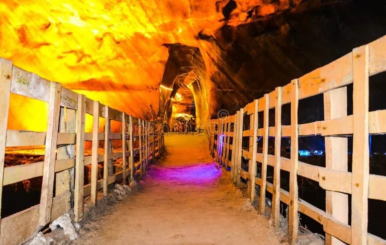
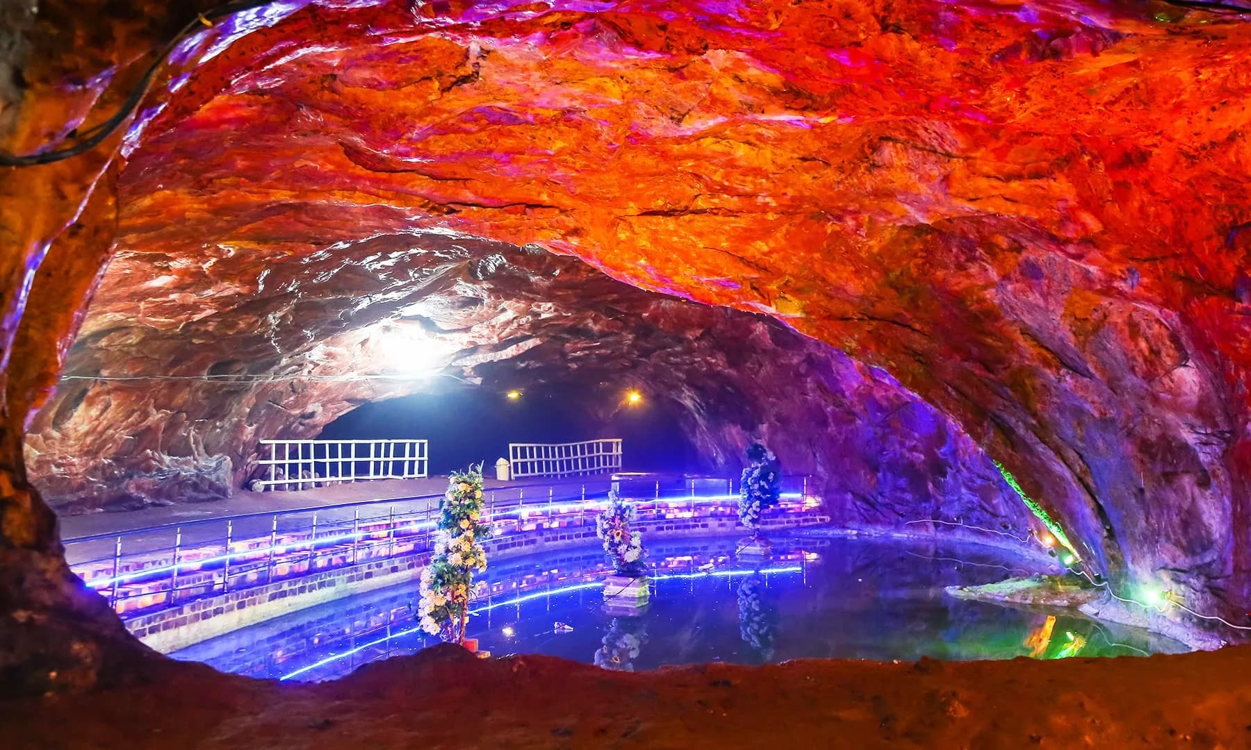
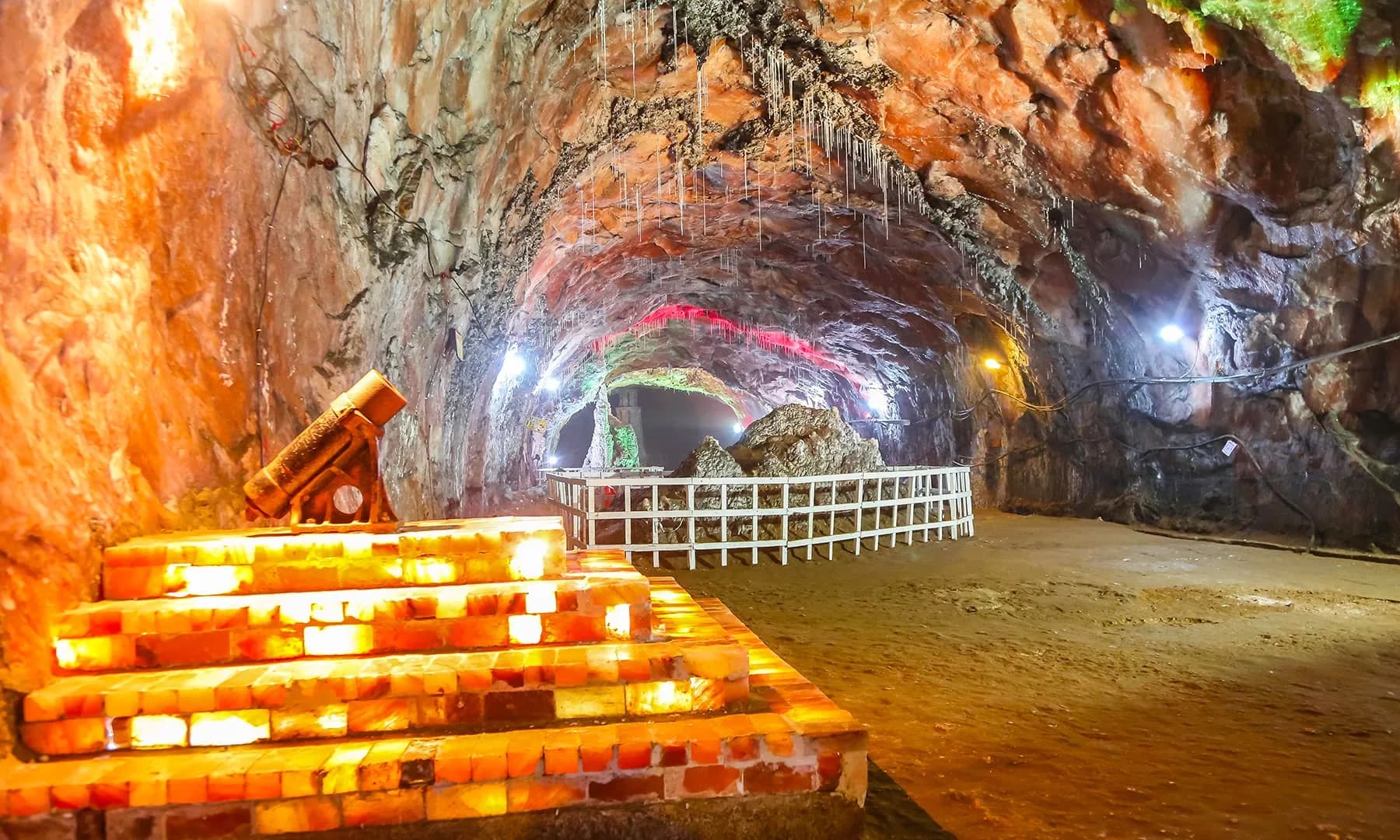
We do not reproduce full stratigraphic columns here. Academic papers use detailed unit names such as the Salt Range Formation. For mine visitors, the practical takeaway is that pink and white tunnel walls are halite with trace minerals, not painted stone.
Potwar Plateau and the Salt Range
The Potwar Plateau lies north of the eastern Salt Range. Together they form part of the Potwar structural basin at the edge of the Himalaya. Rivers draining the plateau cut gorges through softer beds on their way to the Punjab plains.
Drivers on M-2 cross from plateau country into Salt Range hills near Kallar Kahar. The landscape change is abrupt: flat farmland gives way to scrub-covered slopes and road cuts that reveal layered rock.
Why salt appears near the surface
Salt is less dense than many overlying rocks. During folding, salt can flow and rise as domes or ridges, bringing thick halite closer to the surface. That is why mining at Khewra could develop large chambers without extreme depth compared to some metal mines.
Erosion then stripped younger cover rocks and exposed salt at outcrops, which traditional accounts link to early discovery of the deposit. See mine history for how extraction developed.
Fossils, gypsum, and coal
The range is also known for Cambrian fossils in limestone units and for gypsum and coal in certain zones. These are separate from the tourist mine route but explain why geologists mapped the belt long before modern tourism.
This page stays geological. It does not discuss health claims about salt products. For edible and decorative salt from Khewra see pink rock salt.
Sources
- Geological Survey of Pakistan: Salt Range publications
- UNESCO tentative list: Salt Range and Khewra Salt Mine
- Encyclopaedia Britannica: Salt Range

More in Explore
Related guides
Frequently asked questions
How did the Salt Range form?
What rock is mined at Khewra?
What is the relationship between the Potwar Plateau and Salt Range?
Why is Khewra salt pink?
Planning a visit?
Practical visitor information for Khewra Salt Mine in Punjab, Pakistan.
Plan your visit