About this site
Independent informational website about Khewra Salt Mine in Jhelum District, Punjab, Pakistan. Not affiliated with PMDC or any government body.
The Salt Range is in Punjab, Pakistan, between the Jhelum and Indus river valleys. It is famous for rock salt deposits, including Khewra Salt Mine. Many visitors cross the range on the M-2 motorway near Kallar Kahar. Read Salt Range geology and highest peak for more detail.
Khewra Salt Mine visitor entrance, Khewra, Jhelum District, Punjab
GPS: 32.6479389° N, 73.0083944° E. Open in Google Maps
Province
Punjab, Pakistan
Extent
Jhelum to Indus corridor
Highest peak
Sakesar (~1,522 m)
Known for
Rock salt, fossils, M-2 route
What is the Salt Range?
The Salt Range is not a single sharp ridge but a series of hills, escarpments, and valleys in northern Punjab where ancient rock salt and other sedimentary layers are exposed. The name reflects salt mining that has continued in the area for centuries.
Geologists group the range with the outer folds of the Himalayan system in Pakistan. To the north lies the Potwar Plateau. Southward, the land drops toward the Punjab plains. The belt is narrower than the main Himalaya but still rugged in places.
Where is the Salt Range located?
The Salt Range lies in Punjab province. Commonly cited descriptions place it between the Jhelum River on the eastern side and the Indus River farther west. Towns and districts along the belt include parts of Jhelum, Chakwal, Khushab, and Mianwali.
Khewra, home to the famous PMDC salt mine, is in Jhelum District on the eastern part of the range. For mine directions see our location page and Khewra town guide.
Salt Range map and motorway travel
On road maps the Salt Range appears as a north-south band west of Islamabad and Rawalpindi. The M-2 motorway cuts through the eastern hills near Kallar Kahar, which many Lahore and Islamabad drivers use when heading to Khewra.
Search "Salt Range Pakistan" or "Kallar Kahar" in Google Maps to see the motorway section and side roads toward Khewra and Chakwal. Mobile signal can be weak on winding approaches, so save offline maps before you leave the motorway service areas.
Our Kallar Kahar guide covers lake stops and combo trips with the mine.
Khewra and the Salt Range
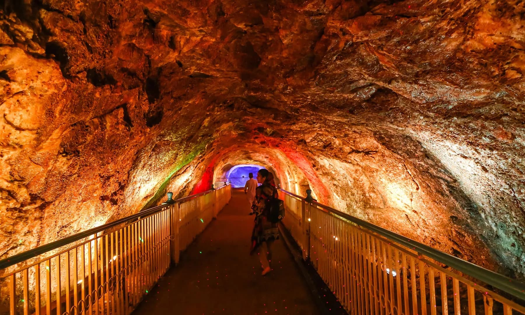
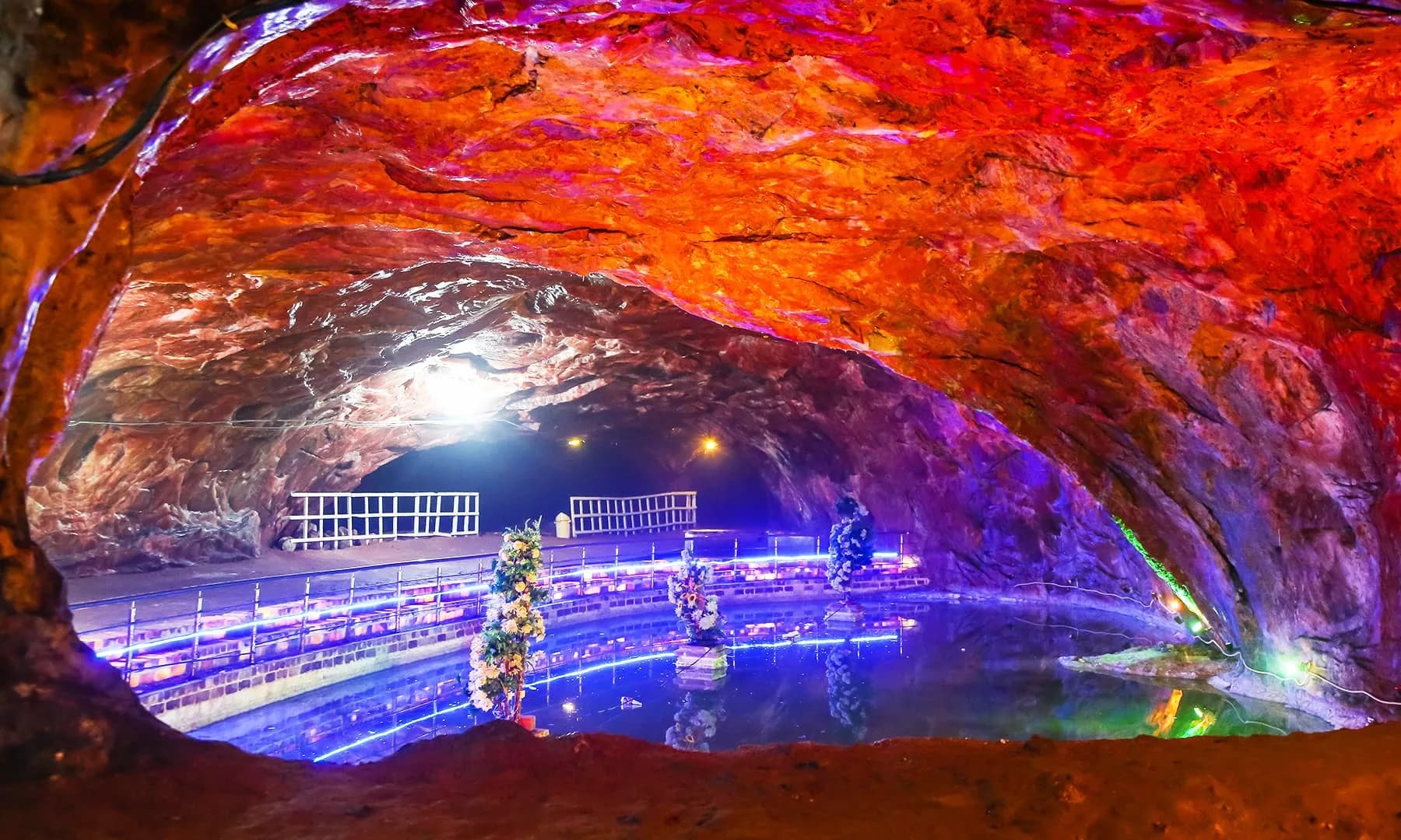
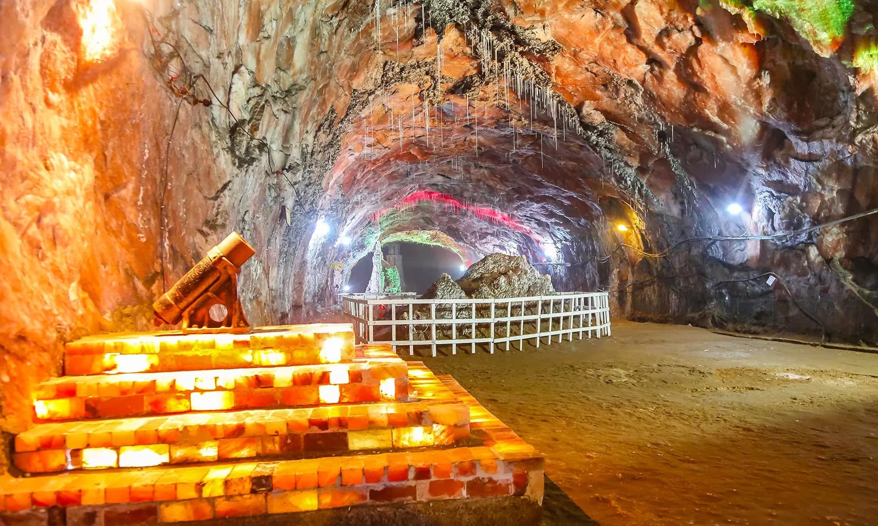
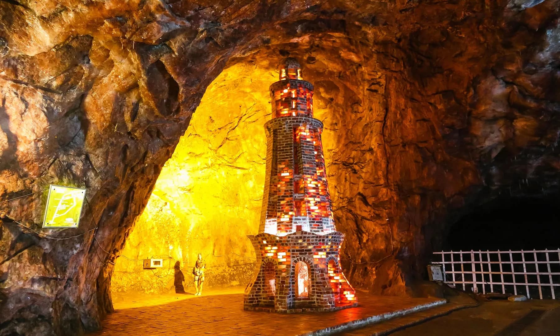
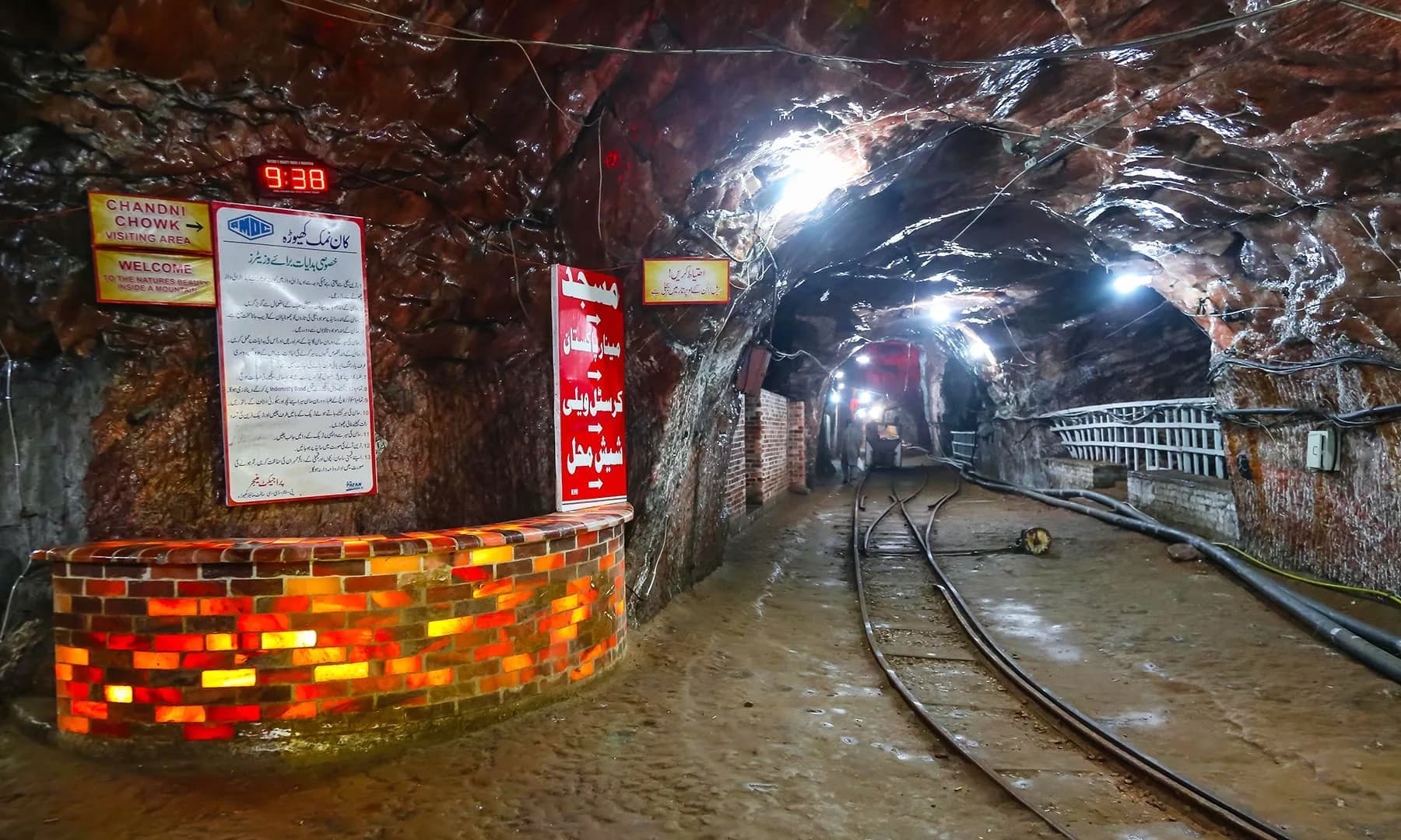
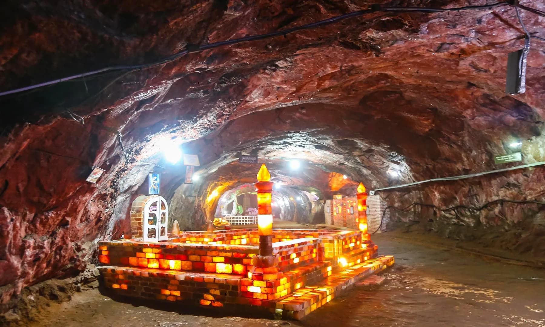
Khewra Salt Mine is the range's most visited underground site. PMDC operates the tourist section where visitors ride an electric train through halite tunnels. The mine is often described as one of the largest rock salt workings in Pakistan.
Other salt and mineral workings exist elsewhere in the range, but Khewra draws the most domestic tourism. See Khewra Salt Mine profile, mine history, and pink rock salt for related topics.
Salt Range meaning in Urdu
In Urdu the range is often called کوہِ نمک (Koh-e-Namak), meaning "mountain of salt." The name matches the visible salt layers and long mining history rather than a single peak.
English maps and motorway signs usually use "Salt Range." Both names refer to the same belt of hills in Punjab.
Salt Range weather and terrain
Surface weather follows Punjab seasonal patterns: hot dry summers, cooler winters, and monsoon rain that can make hill roads slippery. Khewra mine parking can exceed 40°C in summer while underground chambers stay near 18°C.
Higher ground toward Sakesar, the range high point, is cooler and windier. See Khewra weather for mine visit packing tips.
Sources
- Encyclopaedia Britannica: Salt Range
- Wikipedia: Salt Range
- UNESCO tentative list: Salt Range and Khewra Salt Mine
More in Explore
Related guides

Frequently asked questions
Where is the Salt Range in Pakistan?
What is the Salt Range famous for?
Is Khewra in the Salt Range?
How do I reach the Salt Range from Islamabad?
What is the highest point in the Salt Range?
Planning a visit?
Practical visitor information for Khewra Salt Mine in Punjab, Pakistan.
Plan your visit